Bridges
Home
/ Bridges Info / Porter
Brook
/ River Sheaf / River
Loxley & Rivelin / River
Don / All
Bridges / Bridges Links /
All
Map
/ Sitemap / Dams
River Sheaf Bridges Section SR - Redcar Brook
|
|
Bridges of the River Sheaf - Sections | ||
| All
|
Map
only, of All River Sheaf
Sections |
||
| SL |
Limb Brook | ||
| SR |
[This Section] Redcar Brook (the highest source) |
||
| SK |
Blacka Dike | ||
| SH |
Oldhay Brook | ||
| ST |
Totley Brook | ||
|
|
|
||
| SA |
Totley | ||
| SB |
Abbeydale -
Millhouses |
||
| SC |
Millhouses - Heeley | ||
| SD |
Heeley - the Don |
Click on a thumbnail picture to open a larger version.
It may take a while to download, depending on your connection, as they
are large images (approx 1/2Mb).
| The western tributary of the River Sheaf is
the Oldhay Brook. Above Old Hay Lane/Hillfoot Road it is known as
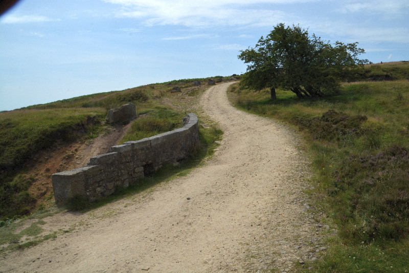
Blacka Dyke. The longest, uppermost branch above Totley Forge is called the Redcar Brook, which rises in Burbage Moor, above Ringinglow, near Ox Stones. Maps show a straight line watercourse reaching as far as Ringinglow Road, although there is a man made drainage ditch all this way, it falls in both directions, with the summit near in line with Ox Stones. This is only about a km away from the source of the Porter Brook. |
||||||
| Start | 1 | 2 | 3 | 4 | 5 | 6 |
|
SR0B |
|
|
|
|
|
|
|
SR0A |
|
|
|
|
|
|
| Goto top | 1 | 2 | 3 | 4 | 5 | 6 |
|
SR01 |
|
|
|
|
|
|
|
|
|
|
|
|
|
|
| Goto top | 1 | 2 | 3 | 4 | 5 | 6 |
|
SR03 |
|
|
|
|
|
|
|
SR04 |
|
|
|
|
|
|
|
SR05 -10 |
|
|
|
|
|
|
| Goto top | 1 | 2 | 3 | 4 | 5 | 6 |
|
SR11 |
|
|
|
|
|
|
|
SR12 |
|
|
|
|
|
|
|
SR13 |
|
|
|
|
|
|
|
SR14 |
|
|
|
|
|
|
| Goto top | 1 | 2 | 3 | 4 | 5 | 6 |










|
|